
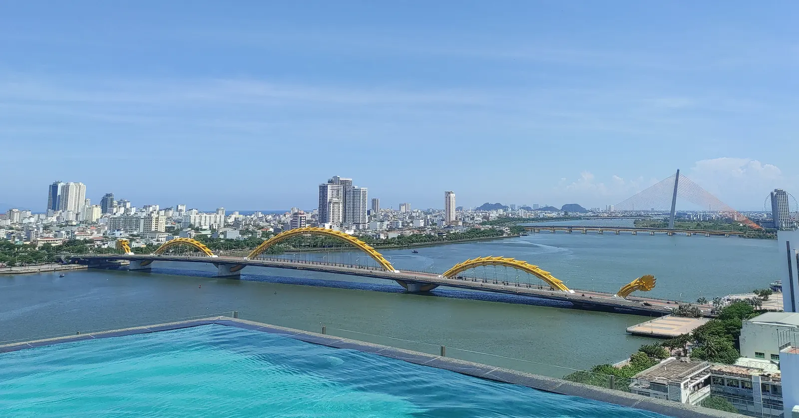
Running in Da Nang, Vietnam

Photo by Somerset999 via Wikimedia Commons, CC BY-SA 4.0

Vietnam › Da Nang › City guide

36 Running Routes in Da Nang

Generate Art Routes in Da Nang

Da Nang or Danang is the fourth-largest city in Vietnam by municipal population and the largest by geographical area. It lies on the coast of the Western Pacific Ocean of Vietnam at the mouth of the Hàn River, and is one of Vietnam's most important port cities. As one of the country's six direct-controlled municipalities, it falls under the administration of the central government.

Explore routes, compare distance and elevation, and plan sessions for current weather conditions.

Weather and seasonal running guidance

Current weather…
AQI indexUnavailable
Temperature--
Wind speed--
Wind directionN/A
Best monthsYear-round, based on local weather and race calendar.
SeasonTypical weatherRunning guidance
All seasonsVaries by cityAdjust pace, hydration, and timing based on current weather.

Surface mix: Urban roads, park paths, and mixed city surfaces.

Safety tip: Check traffic flow, sidewalks, and route lighting before your run.

Route list

PreviewRouteElevation LossMapRun in appVideoReviews
Art trackDragon8.7 km11 m11 mOpen mapRoute details-
Art trackLightning bolt6.8 km3 m3 mOpen mapRoute details-
Art trackStar6.2 km4 m4 mOpen mapRoute details-
Art trackButterfly8.7 km7 m7 mOpen mapRoute details-
Art trackDolphin7.4 km7 m8 mOpen mapRoute details-
Art trackRocket5.8 km0 m1 mOpen mapRoute details-
Art trackCactus9.1 km20 m19 mOpen mapRoute details-
Art trackCat silhouette8.0 km6 m7 mOpen mapRoute details-
Art trackSailboat7.2 km0 m0 mOpen mapRoute details-
Art trackTop hat4.0 km4 m3 mOpen mapRoute details-

Explore pages for Da Nang